- 6 Posts
- 38 Comments


 3·1 year ago
Sure, use your favourite app to track your workout and upload it to wanderer afterwards. It also supports auto uploads through a folder. So you can just place your workout file in the folder and wanderer does the rest.
Ah, sorry. I missed that. I switched to OpenFreeMap (which comes with proper attributions) and it looks much better. Thanks! I’ll include it in the next patch!
https://github.com/Flomp/wanderer/commit/369202ec42f88c3fc9f5a9aaf26aba1b1e6e4044
With a lot of blood, sweat and tears 😅 I extended PocketBase to add support. But the AP endpoints are still in the svelte frontend, which then proxies requests to PocketBase if necessary.
Would this work like an open-source strava alternative?
It depends a bit on your use case. If you want track your progress on certain trails/tracks, then yes. Although, wanderer currently does not support metrics like heart rate or calories.
wanderer comes with a strava integration that helps you sync your data from strava to wanderer.

Have a look at the demo site. Everything is set up there already. I personally use the generous free tier of MapTiler.
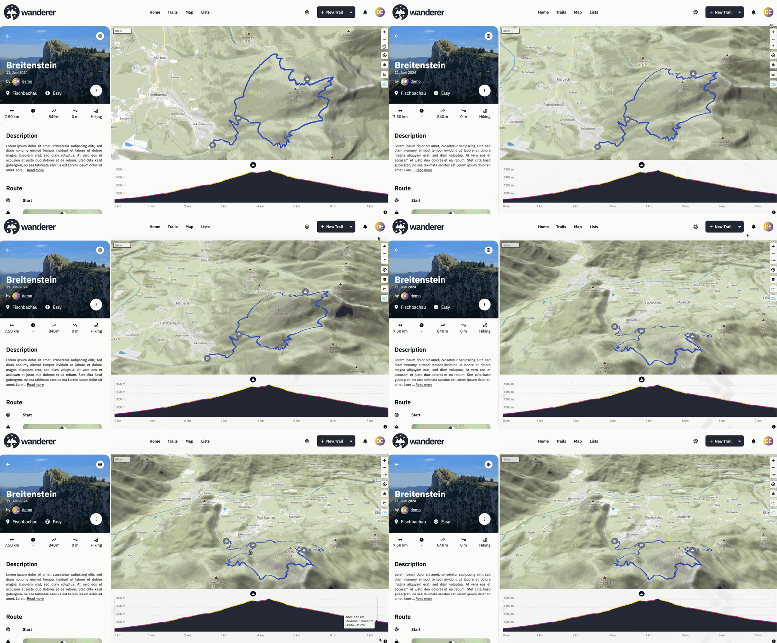
- There is a mountain symbol on the map. Press it to activate the terrain. Drag the compass needle to tilt the map
- Thanks, fixed,
- A public trail is visible to everyone, including non-registered users. A shared trail is only visible (or editable) for the users you share the trail with
- If you add a summit log to a trail it is considered “completed”
- Can you provide a full error stack trace, please?
Thanks, I found it: https://git.dryusdan.fr/Dryusdan/garmin-to-fittrackee
I’ll check it out!
Thank you very much! Really appreciate the kind words :)
Unfortunately Garmin does not offer their API to private consumers: https://developer.garmin.com/gc-developer-program/program-faq/
I have not found a way to pull the data without API access.
Recording is currently not possible with wanderer itself. I personally use osmAnd to record my trails and import them into wanderer. If you don’t want to expose wanderer to the public your friends would need to send you their trails, yes. But I guess that’s no different with any other service.
Currently, it creates a new trail every time. I agree that the name is a bit unfortunate. It was fitting when wanderer started out because back then it was solely made for hiking. I plan to transform summit logs into leaderboards similar to strava in a future update. Then I will probably also rename the summit logs to something more fitting.
Yes, bulk imports are supported. You will need to download them from GOSLogger first though.
Currently no. I really like Dawarich for this purpose and I feel like I wouldn’t be able to add much.

Ah yes, sorry, the upload is currently capped at 5MB. You can change that limit in the PocketBase backend. I will add a guide to the docs.
Happy that you got it working. What exactly does not work with the photos? Fell free to open a GitHub issue, if that’s easier.
I really love working with PocketBase. It gives you such a headstart, but also is highly customizable. It’s really the best of both worlds.
I don’t know the app. But on the linked page it says it supports GPX and KML. Both of which wanderer supports.
Exactly! As long as you have the track in a GPX, TCX or KML file, you are good to go.
You can also plan your route directly on wanderer (so you don’t fall off another cliff ;))
Thanks! No this is an extremely low spec server: 2GB RAM and 2 virtual cores.
I apologize. Post is updated with tag and disclosure.